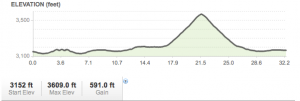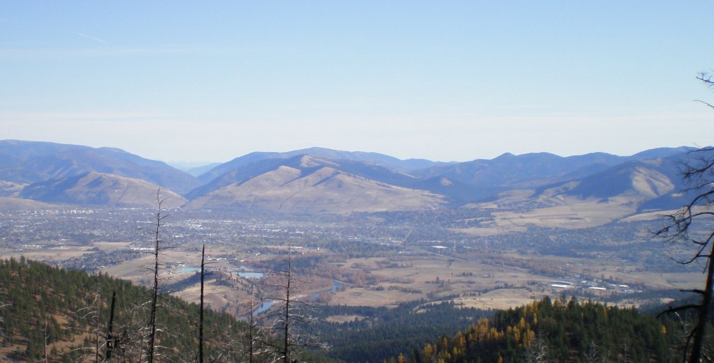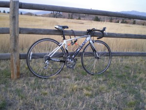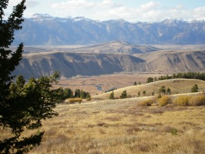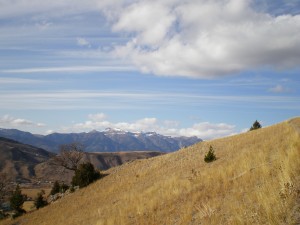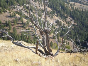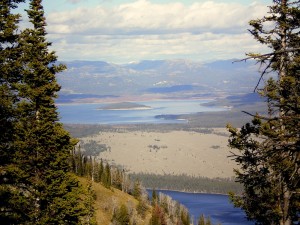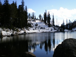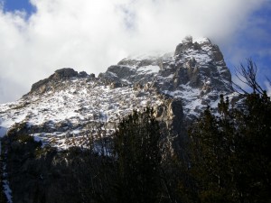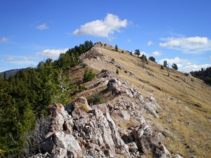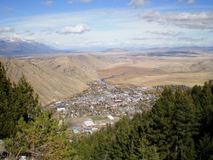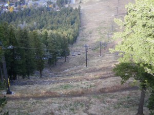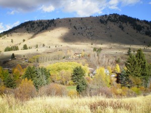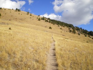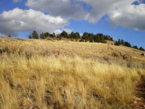
11-08-11 Rattlesnake Dr, Missoula, MT (32.4 miles, 591′ gain)

The plan was to bike down 93 to Lolo, Montana, the town just South of Missoula. I’d biked part way there earlier, to get to the Blue Mountain trailhead, so I figured it would be bikeable. I was excited to take Lolo Creek Rd up all the way to the Idaho state line, and to gain some serious altitude (it would have been ~2000 feet up).

But there was one tiny section of Route 93 where the bike lane all but disappeared. I arrived there just as a massive truck was passing by, and I said “No Thanks!” Too bad. Looking at the map later, it really was only about 500 feet where I’d have to get off my bike and walk on the other side of a guard rail. But not knowing that, I decided to turn around and head North instead. I didn’t really have a plan.

I biked into town, then headed East on a road that parallels I-90. Again, I came to a point where I thought I probably couldn’t go further, and looking at a map later, realized that I certainly could have! There is a lesson to be learned here. Either I need to be more optimistic about roads, or just bring a GPS with maps!

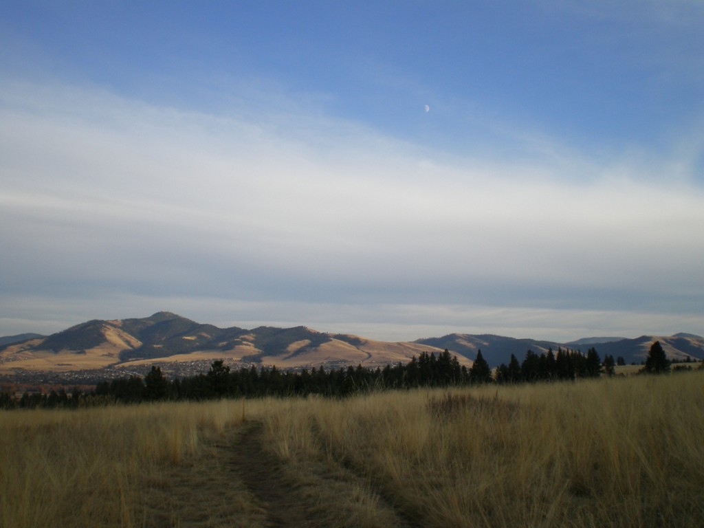
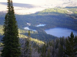
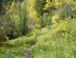
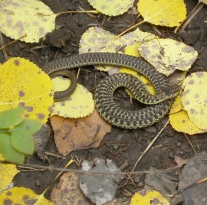
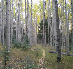
Finally I made a smart choice and bike up Van Buren St to Rattlesnake Drive. That was the most rewarding part of the whole trip, even though it only lasted 8 miles. This was on our last day in Missoula, and I’m sort of sad that I haven’t even scratched the surface of places to hike and bike here.

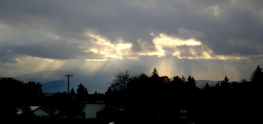
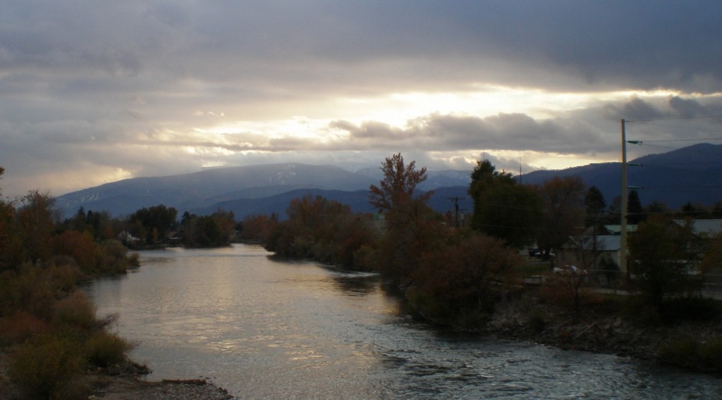
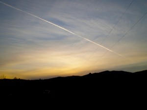
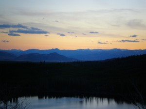
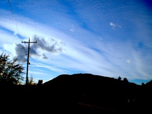
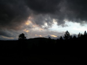
sunset on Rattlesnake Drive

Posted in Biking | Leave a comment

11-3-11 Blue Mountain (20 miles 3240′ gain) Missoula, Montana

I finally got out of my rut of sleeping late, and was able to get in a 20 mile hike! It took 8 hours and 15 minutes, plus about 30 minutes of biking to the trailhead and back. When I woke up at 7:20 it was still pitch black outside, as the sun does not rise until 8:20 here, as long as Daylight Savings is in effect.

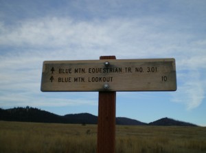
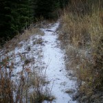
Starting out at the trailhead.

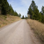
Got to the trailhead at 9:30, followed the National Recreational Trail up to Blue Mountain (6455′) and returned on the same trail. This trail is designated for hikers and horses, so the incline is very, very shallow. I had a wonderful time going up, but coming down, towards the end, I just wanted to go straight down the mountain rather than taking switch-back after switch-back. That might have had something to do with the fact that my feet hurt, and I was dreaming of dinner and a hot shower!

I had a lovely time overall, it was a beautiful cool day (starting out at 29F and peaking at around 49F), and I had the trail almost entirely to myself. While being alone and 10 miles out of town was certainly a novel experience, it’s not my favorite hiking scenario. I enjoy greeting random people every so-often (although not too often — there is a happy medium somewhere). At one point I entered a dark part of forest where the trees must have been a good 30 feet high, the trail was on a very steep slope, and I have to admit I was a bit creeped out. If it had been Halloween day, I tell you what, I would have started sprinting!

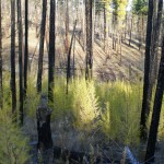
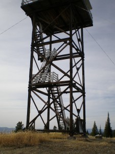
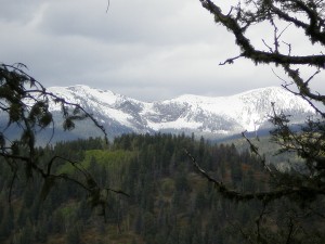
Other than the occasional wooded area, the whole trail goes over nearly bald rolling hills. Some of the baldness is just very sparse but healthy trees, other places there is clear evidence of a recent fire, leaving charred tree trunks stripped of all branches. At the very top of Blue Mtn. there’s a lookout tower, from which one could presumably get a 360 degree view. I got almost all the way up when I discovered it was locked and could go no further, so I got maybe a 350 degree view. Not bad!

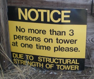
This does not inspire confidence. But, up we go.

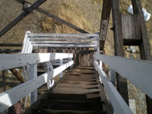
Why is going down always so much more terrifying than going up?

I’ve never been so happy to see my bike as I was after 20 miles on my feet. Sheer bliss to be sitting again!

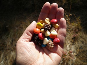
To address a frequently asked question: What do you eat on the trail? This is what I ate today:

Good old raisins and peanuts. To which I added a bag of M&Ms.

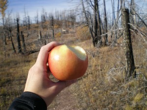
I almost always bring an apple on hikes. They’re heavy, but so worth it!

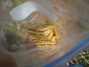
Triscuits and peanut butter. I really wished I’d made more!!

Posted in Travel | Leave a comment

10-28-11 Mammoth Hot Springs, Yellowstone National Park

This post is heavy on the science, mainly because I felt the need to say something other than “We saw pretty things! Here they are!” So if that is not your cup of tea, feel free to let your eyes wander to things that delight them more.

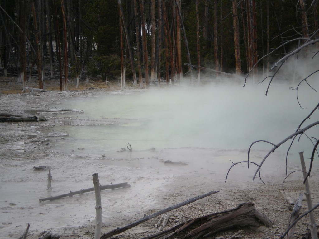
Our first stop of the day was Norris Geyser Basin, which contains some of the hottest and most-active geysers in Yellowstone. It reeks to high heavens, and the water is highly acidic (unlike the other geothermal areas, which tend to be alkali).

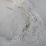
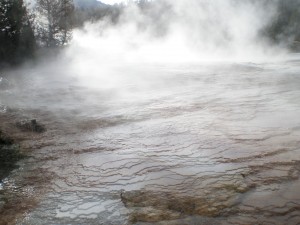
The springs here all tend to have a milky blue or green color, apparently due to suspended silica particles, which milkify the the color of whichever microbes are present, and their own ratio of chlorophyl (green) to carotenoids (red, orange, or yellow). Of course, some of the colors are due to minerals like sulfer (yellow) and iron (red) rather than microbes.

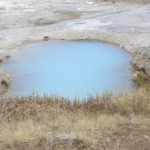
And finally, the central deep blue of many of the hot springs is due to the way water reflects and absorbs light, and has nothing to do with either minerals or microbes. So hot springs are a soup of biology, chemistry, and physics, not to mention geology! Needless to say, there are scientists aplenty conducting field research at Yellowstone, including a group at UC-Boulder who recently discovered a new species of mycobacterium living in Norris Basin.

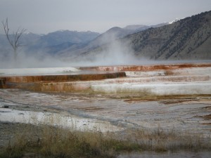
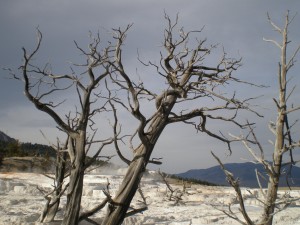
Next stop was Mammoth Hot Springs. According to all-knowing wikipedia, Mammoth hot springs is made up of travertine, which is a fibrous form of limestone (CaCO3, or calcium carbonate) that precipitates out when the hot supersaturated alkali water of the springs hits the cooler air.

Somehow the rate of flow and the timing of the calcium carbonate precipitation works to create these staircase-like structures. I don’t claim to understand how that works, but it sure is a dramatic effect. Oh, and I hate to admit this, but if you want to see some way nicer photographs than the ones I took, check out the links above.

Posted in Day Hikes, Geology, Travel, Wyoming | Leave a comment

10-27-11 Yellowstone (day 1)

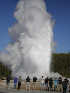
Old Faithful goes off once every 2-4 hours, and we arrived literally the second it started.

We drove up to Yellowstone National Park today, wanting to get there before most of the roads close on November 7th for winter road maintenance. I have to admit, this was all Louis’s idea. I had heard of Old Faithful, and once did a hiking trip in Montana, so I thought I had some notion of what Yellowstone would be like. I had no idea.

Oops. Looks like someone divided by zero.

Yellowstone National Park covers approximately 3500 square miles in Wyoming (mostly), and is centered on the Yellowstone caldera, which is an active supervolcano (a volcano capable of ejecting more than 240 cubic miles of rock). The most recent major eruption was 640 thousand years ago, but a smaller eruption 160 thousand years ago formed a caldera that surrounds West Thumb of Yellowstone Lake.

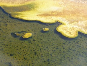
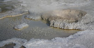
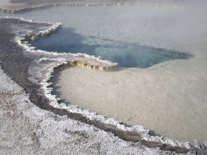
Some awesome silica shelves (or are they bacterial?)

The Yellowstone Plateau sits at about 8,000 feet atop a body of magma that is responsible for the park’s 300 geysers and 10,000 other geothermal features (hot springs, mud pots, and fumaroles). For the curious, wikipedia has an article on how geysers guise (which is a verb Louis made up).

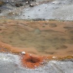
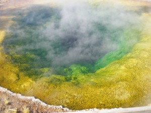
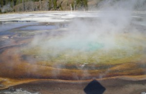
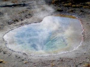
I believe the colored rings correspond to different bacteria inhabiting their favorite temperatures. The central blue, however, is the color of pure water.

The brief version is that surface water percolates down as much as 6,000 feet underground, where it reaches hot rocks heated by magma. The water is under such high pressure from all the water and rocks above, that even though it may be 400 degrees, it does not boil. Instead, the hot water rises to the top and shoots up through narrow passages (“plumbing”) as it explodes into a boil near the surface.

What's for dinner? Bacterial soup!

Many of the hot springs are brimming with beautiful cerulean water, bubbling gently and steaming, inviting passersby on a chilly fall day to hop in and soak. Not a good idea! Water temperatures may be close to the boiling point. The springs and geysers are home to many species of thermophiles and extremophiles (bacteria that can thrive in very acidic, alkali or sulphuric waters), creating bacterial mats of many different colors.

Speaking of sulfer, if you ever get a face full of hot spring steam, the stench of rotten eggs (hydrogen sulfide) can be overpowering.

And that’s just the geology aspect. Tune in later when I post more pictures of bison and deer and canyons and waterfalls!

Must have been some kind of thermal convection that formed all of those perfectly rounded stones?

The red outer ring is most likely iron deposits with some iron-loving bacteria.

Posted in Day Hikes, Geology, Travel, Wyoming | Leave a comment

10-25-11 Jackson Trails (14 miles, 3960′ gain)

I guess I could call this another epic day (it was!) but at some point I’m going to have to redefine my threshold for what makes a hike epic. Oh well. Basically did the same hike as a few days ago, minus the improvising, and tacked on a few more hundred feet of elevation by making it further up Crystal Butte. Yee Haw. Foot is doing okay, but now my other foot is bothering me due to a massive crack in my heel that just won’t heal. Not enough to slow me down though!

I resisted the urge to tweak the contrast, but believe me, the clouds were freaky!

It was another beautiful day, but colder. In a strange way. It was 39F and sunny on top of Crystal Butte at 8760′ but I was in a t-shirt. Then by the time I got down to the city at 6200′ it was 41F and dusk, and I had to put on long-sleeves, a fleece and a jacket shell. The sun up here is that powerful!

Why are these rocks sitting in a tree? This was not the only time I saw this phenomenon.

Anyway, I feel like I could eat a horse right now. And I’ve already had dinner. Cheerio!

Posted in Day Hikes, Wyoming | Leave a comment

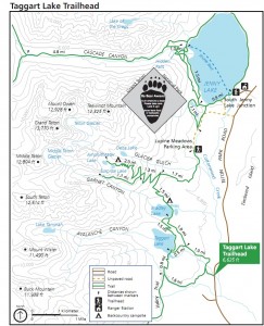
10-23-11 Surprise Lake from Taggart (13.6 miles, 2915′ gain)

image via: nps.gov

Another epic day! And this one I was able to share with Louis, for twice the fun, and at least three times the insanity. This was the hardest hike Louis has done since we began our hiking adventures, and for me the intensity was compounded by still being sore from yesterday.

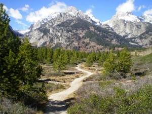
starting out towards Taggart Lake

We’re both in much better shape than when we started our hiking adventures, but by the end of the day there was much daydreaming about dinner and sleep and scalding hot showers. Specifically, I was craving marshmallows (actually I’ve been craving them for weeks, which makes no sense!) and Louis was craving Elk steak. We have yet to eat either of these things, I am sad to report.

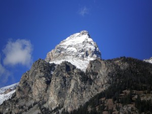
I don't honestly know which peak this is. Might be Grand Teton herself, but don't quote me on that.

So. We drove 20 or so minutes into Grand Teton National Park, and hit the Taggart Lake trailhead around noon-thirty. Both of us have recently become experts at sleeping in, which is not ideal for getting in long hiking days, but at this point neither of us are any good for more than about 7 hours of hiking anyway, so it hasn’t really interfered. I’m sure I’ll snap out of this strange schedule soon enough.

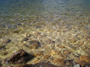
Oooo, can we go swimming? Please? (What's hypothermia?)

We hiked up to Bradley Lake, which was a beautiful clear greenish lake. Initially we’d planned on a half-day of hiking, but when we got to the lake in only 50 minutes, we decided to push on towards Surprise Lake. And boy was that an awesome decision! Such a beautiful lake, it’s a shame we didn’t really have time to laze around and soak it all in.

Jenny Lake and some other lake. Methinks I went a little crazy tweaking the colors here.

The most exciting part of the day for me was hiking up beyond the snow line. Also, we saw two grouses! That was a new bird for me, and we were fortunate that the couple that we’d been passing multiple times all day were able to identify it.

Snow!

By the time we made it back to the car, there were already at least a couple dozen stars in the sky, and just barely enough light to navigate the trail. (We did have headlamps, but I forbade Louis from turning his on unless it became absolutely necessary. I am stubborn, and just wanted to see if we could make it.)

Surprise Lake

We had a bit of an adventure trying to find a place in Jackson to eat dinner. It turns out that about 80% of the restaurants in the main drag are all super fancy foodie attractions, featuring exotic entrees in the $20-$40 range. Too rich for my blood! But there are plenty of more casual places with reasonable prices. Bubba’s BBQ has a massive salad bar (absolutely massive!) and some very tasty meat. And Betty Rock Cafe has some of the best pizza we’ve had in a long time.

I am loving the Grand Teton peaks, but it saddens me that they are inaccessible without climbing gear.

We've still got a long way to go down, and the shadows are getting long.

We still have another mile. Will we make it before dark?!

Posted in Day Hikes, Wyoming | Leave a comment

10-22-11 Hiking in Jackson, WY (14.1 miles, 3300′ up)

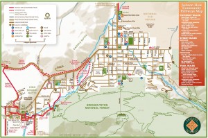
Image via friendsofpathways.org

Guys, I am so far behind on updating! And I have so many pictures it just breaks my heart trying to choose only the very best ones to include in the blog. I don’t know how folks do it. So instead of tackling the backlog, today I shall write about today, because it deserves to be written about in the present.

Josie Ridge Trail

That's why they call it Josie Ridge

So yeah. 14.1 miles! For any fellow hikers reading this blog, that sort of distance is not unusual in the least. But it’s the longest distance I’ve covered on foot in a single day since 2009 when plantar fasciitis first reared his very ugly head. All the hiking I’ve done since August seems to be the miracle cure, at last!

View of Jackson, WY from Snow King peak

Almost to the top!

Anyway, we’re spending a few days in Jackson, WY (elev. 6300′) which is near the entrance to Grand Teton National Park. Louis was taking another thesis day, so I decided to wander around the trails leading right out of town. It was a perfect sunny day, with a high around 56, and the trails were teeming with dog-walkers, runners, runners with dogs, bikers, and even a biker with a dog! I was very out of place as a walker sans canine.

You mean I coulda taken the chairlift up here?

Biker stump

I took Josie’s Ridge Trail up to Snow King peak (7,780′), walked around the nature trail which lead me to the drop-off point of a chairlift (which was running, even though it is clearly not ski season yet).

I want to be up there. WANT.

This could be the view from your backyard on Cache Creek Drive

From there, I took Wilson Canyon to Ferrins Slide Trail. This trail was beautifully smooth and rock-free, thanks to the very high bike traffic. I’ve never been on a mountain bike trail before, but it is an awesome hiking experience! From Ferrins Slide trail, I connected with Hagen Trail and then did some improvising towards Upper Cache Creek Drive.

Nice fall colors starting up

Crystal Butte from Upper Cache Dr

I had been eyeing another mountain for the past hour, and I really really wanted to figure out how to climb up it. I was determined to do it, with or without a trail (I wasn’t sure, as this section took me off my map). As it turned out, there was indeed a trail, called Crystal Butte. It was an incredibly challenging climb, much steeper than Josie Ridge. Steep and gravelly. Another degree steeper and you’d have no hope of taking a step forward without sliding all the way down!

Starting up Crystal Butte trail

It starts off innocently enough.

But it was definitely worth the effort, for non-stop spectacular views! Trees are great, and I appreciate their existence in general, but there is nothing in the world like being able to see every contour of a mountain, and having an unobstructed “view” every time you look up.

Up and still more Up

Yes, I altered the colors on this one. That's allowed!

Top of Snow King

Posted in Day Hikes, Wyoming | Leave a comment

10-7-11 Jack’s Creek to Taos Junction, NM

I’m currently sitting in a Brewing Market in downtown Boulder trying to stay awake. With all the travelling, I’d cut back my caffeine consumption to half-a-cup of coffee a day, and that seems to work just fine for hiking and camping, when my most complex thoughts involve navigation and generally staying alive.
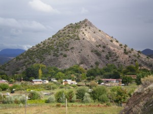
Somewhere along Route 285 between Santa Fe and Taos

Now that I’m in civilization, the business of staying alive is ridiculously easy. Food, shelter and water everywhere! Hot showers whenever I want! Navigation is simplified by the presence of the same enormous mountains always to the West of wherever I want to be, and a generally grid-like layout of roads.
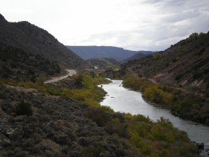
View from Taos Junction campground

Thus, my brain is freed up for such tasks as searching for jobs, and trying to remember where on Earth I left off in my self-taught programming language crash course. Life is certainly harder on the road, but so much simpler! And apparently the tasks I am asking of my brain require caffeine. Lots and lots of caffeine. All of my IQ points above 100 are locked behind a vault for which the only key is a strong steaming cup of coffee.
So, continuing with the journey from Oklahoma to Colorado. I kept a handwritten journal while we were on the road, but it’s back at the hotel, so today’s entry will be brief.
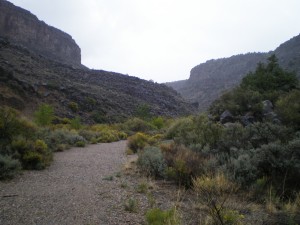
Our hike up the canyon in the drizzle

During the second night at Jack’s Creek campground, we were awoken multiple times during the night by what we were convinced was a moose or an elk. Louis warned me, while both of us were in a half-asleep fog, that I should not leave the tent. So, petrified, I stayed inside long after the sun began to light up the sky.
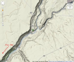
We stayed at the green arrow

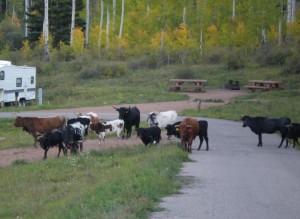
By about 7:30 I hadn’t heard a noise for the past half an hour, and the need to visit the outhouse was becoming quite serious. I emerged from the tent, and what did I see? A heard of cows and bulls, meandering through the campgrounds! Not a bunch that I’d want to get too close to, but less threatening than a moose. (I’ve been followed by a young moose once before, in Alaska, and it was NOT a Fun Time.)

Today, our travels took us through Santa Fe and up to Rio Grande Gorge State Park near Pilar, NM. We set up camp at Taos Junction campground, indicated with a green arrow on the map, right down by the Rio Grande. It’s a great campground, with lean-tos and “heated” bathrooms for $7/night. (Heated to approximately 45 degrees, which was positively wonderful compared to the unheated bathrooms we had at previous campgrounds!)

There had been forecasts of snow across the area for the night, but given our lower altitude, that translated to lots of very very cold rain. Not ideal!

Fortunately we were able to go on a short hike in the drizzle, before the rain started in full force. I wish we could have hiked longer, but we foolishly set off without water or layers or even proper rain gear, and it was getting dark fast.

For dinner, I treated myself to a heat-and-eat box of soup from Pacific foods (Chipotle Sweet Potato) It was heavenly, and possibly the BEST camping food I’ve ever had. I am going to be so horribly spoiled in Boulder, where there are Whole Paychecks Foods everywhere, selling such specialty foods. Fortunately, our new apartment is across the street from a King Sooper’s, which I believe is slightly less expensive.

Posted in Day Hikes, New Mexico, Travel | Leave a comment

10-6-11 Winsor Creek Trail

Beginning of the trail

Today we drove to the general store in Terrero to see if we could pick up some fresh fruits or other munchies to supplement the freeze-dried dinner we had. No luck there! They must be clearing out for the season, because it was very slim pickings. No matter, we only had another day to survive away from civilization.

An unidentified snake we almost stepped on

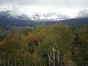
We did a five-hour hike today up Windsor Trail (#254) starting at the trailhead in Cowles. The hike took us from 8,469 to over 10,000 feet, according to the GPS unit. The trail was beautiful, and ascends very gradually, due to a massive switch-back (very unlike the White Mountain trails in New Hampshire, which are all very steep and scrambly). The mountains were dotted with patches of yellow where the aspens are just beginning to change color.

An aspen grove (I do hope I've identified them correctly).

It was partly sunny and cold, and my feet were ridiculously sore by the end. I was experimenting with wearing sneakers instead of hiking boots: big mistake. So we did turn around a bit early because of that, but still, 5 hours is a good solid hike.
Clouds looking a bit ominous

Posted in Day Hikes, New Mexico | Leave a comment

10-5-11 Storrie Lake, NM to Jack’s Creek campground

Our Lean-to at Storrie Lake National Park

It was pretty amazing to wake up in such a beautiful place after having arrived in the pitch darkness the night before. I’d seen pictures on the internet of course, but nothing like being there! I went on a bit of an exploration of the lake in the morning before we left. It had rained all night until about 6am, but the morning was sunny and perfect.
Morning clouds at Storrie Lake

Next, we drove a short distance from Las Vegas to Pecos to get information on campsites up in the mountains of the Santa Fe National Forest. We picked a campsite at the very end of Route 63 in Jack’s Creek Campground (elev. 8,900 ft). We were informed that it would be cold up there, and indeed it was!

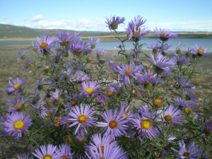
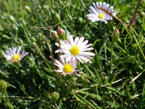
Still plenty of flowers blooming even in October

There are trailheads starting from the campground, so we took one towards East Baldy Peak and did a quick 2-hour hike, gaining about 1000 feet in elevation. Speaking of elevation, Louis and I haven’t had much trouble with altitude on this trip, in which we’ve been above 5,000 feet for the past eight days. Breathing harder, certainly, but no headaches or dizziness, which is good news.

I suppose I’ve been waking up more at night, but that could be due mostly to the cold and the fact that I would often wake up ravenously hungry and need to chow down on Special K, or Oat Squares at three in the morning. I’m used to the city life where I can eat small meals whenever I feel like it, so I haven’t yet figured out how to get enough calories in three meals, only one of which is a hot cooked meal.

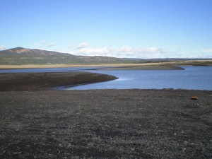
The water at Storrie Lake is pretty low this time of year.

Oh, and I suppose I might as well mention one pro-tip, which I’d actually learned a few years back during a previous high-altitude hiking trip, but had forgotten: Eat your Fiber, and stay totally hydrated!! You’ll thank me later. I never thought I’d be eating a prune a day until I was 70 or so, but they are truly miraculous things! Enough said on that topic….

View of East Baldy Peak

So our hike today was short, but sweet. The trail was a very gradual uphill on soft ground, and featured a spectacular view, even though we didn’t even reach a peak. I’m still pleased with myself for finding this view, because it involved a ~10 minute detour off the trail, including a rather precarious scramble up boulders, and I only had a hunch that there might be something to see. And I was right! Near 360 degrees, with only a few tree obstructions. Not bad.

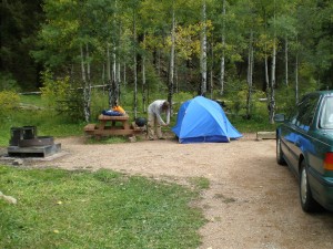
Our campsite at Jack's Creek

Anyway, I really tried to pare down the number of pictures in this post, and clearly failed. Too much beauty to be contained in a single blog post!

Sunset at Jack's Creek

Posted in Day Hikes, New Mexico, Travel | Leave a comment

10-4-11 Edmond, OK to Storrie Lake, NM (512 miles)

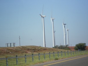
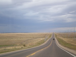
We drove past many hundreds of windmills all across the plains of TX and NM.

We were a day late in setting off, due to an electrical issue with the car. She spent a day in the shop at the mercy of mechanics who never did figure out the problem. A fuse kept blowing and no one could figure out why. We set off anyway, and a few days later Louis discovered the source of the problem when he saw sparks flying from the cigarette lighter one night. Turns out the lighter-to-USB thingamajobber wasn’t in tight enough. A many-weeks mystery solved!

Most of New Mexico is dotted with these green shrubs with varying density, depending on local rain levels.

So we’d initially planned to stop in Palo Duro Canyon, Texas, for a night, but since we got there early enough and wanted to make up some time, we drove on through to Las Vegas, New Mexico (not to be confused with Las Vegas, Nevada). We’d crossed another time zone, so were starving by the time we got to Las Vegas around 6pm and stopped in at a diner for some authentic mexican fare.

Sometimes things were very flat and dry

I’d never had huevos rancheros before, so I figured I’d expand my gustatory horizons and give it a try. With my meagre Spanish abilities, I knew the dish would involve an egg, but I had no idea what else! Turns out it has beans and cheese swimming in some kind of spicy green sauce with hashed browns and a sunny-side down egg all on top of a tortilla. Heart-stopping, but tasty!

Some very interesting cloud formations. Don't see much of this in the Northeast.

Four miles North of Las Vegas is Storrie Lake State Park, where we stayed for the night. It was already dark and raining hard by the time we finished dinner, so it was a bit of an adventure trying to navigate the campsite to find a suitable spot, but we finally did.

Mercifully, the park has lean-tos with room for a picnic table and a roomy two-person tent, so we didn’t get totally soaked! Somehow every time we’ve camped in the rain we’ve lucked out with one or more mitigating factors (lean-tos, or sandy water-absorbant ground). I hate to think when our luck will inevitably run out.

Posted in New Mexico, Travel | 1 Comment

There will be more to come

Residents of a sidewalk in Edmond

We’ve reached Boulder, CO after winding our way slowly through the mountains of New Mexico and southern Colorado. We’re here for another few days to search for apartments and do some other life chores that require more consistent cell and internet access.

Boulder is just as amazing as I remember it, if not more so. And Louis seems to love it too, which is good news since we already shipped our boxes out here, and he dove into the idea of living here, site-unseen. (So trusting he is!) 🙂 We did a massive driving tour today and set up a ton of apartment viewings, so I feel like I have a pretty good sense of the area now. And I’m liking it. A Lot. It blows my mind that mere humans created this beautiful city right at the edge of stunning mountains, and that I get to live here!!!

So, I’ll be gradually weeding through over 500 pictures in the evenings, but it might take a while. And we’ve got an early apartment viewing tomorrow, so I should sign off now. Here’s some wildlife to tide you over, care of Edmond, OK.

(For the sake of RSS chronology, I’m not going to back-date posts from now on, but I will put the date in the title, or the first line of text or something. Who knows whether this will be more or less confusing?)

Posted in Uncategorized | Leave a comment