-
Recent Posts
Recent Comments
- Elizabeth Glover on IVF – Follicle Ultrasound #2
- Elizabeth Glover on IVF – Injection Day #1
- Elizabeth Glover on IVF – Stimulation starts tomorrow
- xoxoxoxoxoxoxo, moi on 4 months 3 weeks – Occupational Therapy
- xoxoxoxoxoxoxo, moi on 4.5 months – First trip to the library
Archives
- September 2019 (1)
- August 2019 (1)
- July 2019 (14)
- June 2019 (7)
- November 2017 (1)
- October 2017 (2)
- September 2017 (5)
- August 2017 (9)
- July 2017 (31)
- June 2017 (27)
- May 2017 (19)
- April 2017 (4)
- July 2012 (2)
- June 2012 (1)
- December 2011 (1)
- November 2011 (10)
- October 2011 (9)
- September 2011 (11)
- August 2011 (21)
- June 2011 (1)
- May 2011 (1)
Categories
- Backpacking (2)
- Biking (9)
- Day Hikes (18)
- Emily (2)
- Geology (2)
- IVF (23)
- Maine (8)
- New Hampshire (13)
- New Mexico (4)
- People (2)
- Travel (27)
- Uncategorized (107)
- Utah (4)
- Wyoming (5)
Meta
Calendar
February 2025 M T W T F S S « Sep 1 2 3 4 5 6 7 8 9 10 11 12 13 14 15 16 17 18 19 20 21 22 23 24 25 26 27 28
Bike Gorham to Pinkham Notch (35 miles)
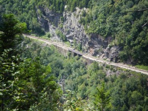
We’re now staying at Timberland campground, and loving it. For an extra $3/night ($23 versus $20 at Dolly Copp) we get hot showers, a solar-heated swimming pool, and a rec room with a book exchange and free wifi. We’re also sandwiched between route 2 and a railroad track, which some might find distracting. The train only passes once a night, but when it does, the sound is terrifying. The noise fills up your whole brain, and yet the train is cloaked in complete darkness. Not the kind of sound one expects to come from the peaceful woods at night.
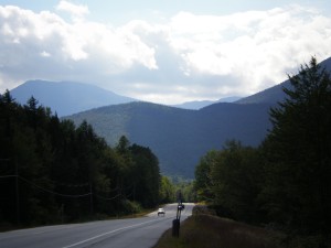
First day here (10 minutes from Gorham, NH) I decided to bike down Route 16 while Louis worked on his thesis. We’ve seen a ton of bikers on this road, and the bike lanes are like a dream 98% of the time. What I did not realize upon setting out, and only fully understood more than half-way into the trip, was that Route 16 between Gorham and Jackson includes about 1900 feet of elevation gain over 17 miles. I honestly did not realize how uphill I was biking, despite the fact that I was averaging 8.5 mph on the way out (up). I figured I was having an off day, physically. I checked a couple times to see if I was riding with the brakes misaligned, but there was daylight between the rims and the brakes, so that wasn’t it. So it was with great delight and surprise when, on the return trip, I was able to maintain 20+ mph almost continuously. Since most of my serious biking experience has been on the streets within a 25 mile radius of New Haven, I have to say, this was the most incredible bike-ride ever. It is hard to express the joy of being able to coast for 17 miles on a bike, honestly, it’s worth a trip here just for that. Oh, and you know, the views are pretty OK too.
Posted in Biking, New Hampshire, Travel
1 Comment
Come on Irene
Darn it, I guess I wasn’t the first one to come up with that pun (inspired by the Dexys Midnight Runners song “Come on Eileen”). Considering I’ve been living under a rock, I wonder how strange it is that my brain went to that random 1982 song, along with so many others. Collective consciousness?
But seriously, this storm has been very worrisome, resulting in extensive damage and flooding and at least 40 fatalities. Damage estimates are approximately $7 billion. Nothing too serious hit Gorham, except for 5-6 inches of rain and power outages all day until about midnight. The little river that runs through town went up four feet and the flow rate increased by a factor of five (source: Louis and water.weather.gov) Pretty scary!
So yeah, yesterday was pretty boring without power in a hotel. I began reading War of the Worlds, H.G. Wells, which I’d downloaded from Project Gutenberg with great foresight back in New Haven. Amazingly, there was a fantastic pizza place open for dinner (Gorham Pizza House), and seemingly everyone in town was there.
Posted in New Hampshire, Travel
Leave a comment
White Mountains (day 4, Mount Moriah)
We’ve been evacuated from Dolly Copp due to Hurricane Irene, and had to spring for another hotel sooner than we really wanted. There is so much excitement around what is now a tropical depression, and so far there has been flooding all up and down the Northeast.
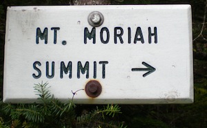
I still wanted to squeeze in one last hike before the storm, so I settled on a trail that starts out right in the center of Gorham, for convenience (and I figured anything in the White Mountain area is guaranteed to be awesome, or at least more exciting than New Haven!) Mount Moriah fit the bill. Again, Louis dropped me off, and this time we set a reconvening time of 2:30pm, to give more than enough time before the rains would start at 6pm. This gave me a solid four hours to travel 9 miles and ascend 3,250 feet along the Carter-Moriah trail. Turns out that was a rather ambitious goal. This website recommends 6 hours 15 mins for the same hike. It ended up taking me 4.5 hours and the effort was quite intense.
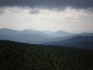
I have to admit I viewed this hike as more of a workout and peak-bagging excursion than my usual relaxing nature appreciation. I figured I needed to do some serious hiking before being hotel-bound in the dumping-down rain for a day. So glad I did! Plus, the views were excellent indeed.
Posted in Day Hikes, New Hampshire
Leave a comment
White Mountains (day 3, evening) Pinkham B Road
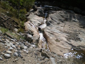
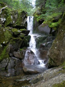
After Mount Washington, it was all downhill. We did manage a brief jaunt down historical Pinkham B road (not maintained in winter — or apparently summer either) to see some falls. Somehow none of the pictures turned out well. I did like how a moment of distress (due to my camera biting the dust on a slippery rock) was captured in this one (the camera is fine).
Posted in Day Hikes, New Hampshire
Leave a comment
White Mountains (day 3, Mt. Washington auto road)
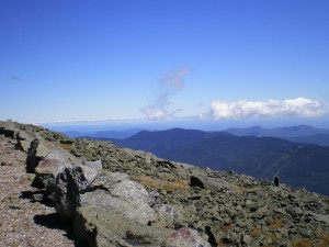
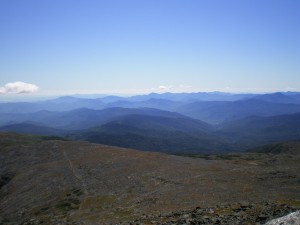
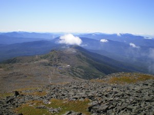
Today turned out to be such a startlingly brilliant day, that we knew we had to be on top of Mount Washington. Neither of us being in physical condition for a serious hike this particular day, we took to the auto road. Plus, Louis loves “exciting” drives, something which I cannot relate to at all! I was a white-knuckled passenger and tried my best not to tell Louis when to shift and break. He is in fact an excellent driver, and I trust him completely, but that road is just intrinsically terrifying, ain’t no two ways about it. But we made it!
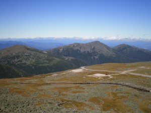
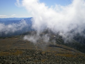
We spent a good 2 hours lazing around on top of Mt. Washington (6,288′), which is, as far as I’m concerned, the best way to experience it. It is a rare day indeed when the summit of Washington invites lazing around. The first time I ascended it with my mom, almost a decade ago, it was cold and rainy with maybe 20 feet of visibility and sustained 60 mph winds, and that was a typical day.
Posted in New Hampshire, Travel
Leave a comment
White Mountains (day 2, Madison attempt)
Today I was feeling up for another hard summit push. Or at least, I thought I was. I knew within 10 minutes that I’d be hiking while sore the whole day. And soon enough, sore and wobbly. That is partially why the title of this post is “Madison attempt“. I still had a fantastic time, and learned some things.
Louis dropped me off at the trail head and we set a meeting time for 6pm sharp. That would give me a good seven hours to make the ascent and descent, and would provide, I hoped, a good cushion before the sunset. I’d never done a solo hike of quite this magnitude, although I am by no means a stranger to being self-sufficient in the woods, and I have enough hiking experience to feel confident that I could have a wonderful day even by myself. Happily, this turned out to be true, even though the day was not without its moments of “okay, now what?”
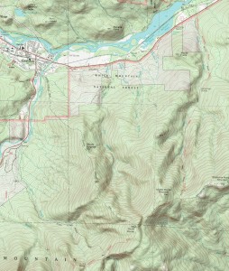
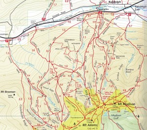
The first such moment came almost immediately, when I realized my 1:24,000 scale map of the area was almost completely useless for the maze of trails that cover the base of Madison. It showed about half of the whole tangle of trails, and only two of them were labeled. There was, blessedly, a map at the trailhead from which I somehow memorized the important bits, and knew only that I wanted to take the Valley Way to Watson Path, which, with some guesswork, I was able to do. (When in doubt, go up).
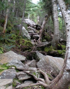
The round-trip distance is listed as 8.4 miles, but I’m fairly sure I was at least a mile from the summit when I had to turn back, so let’s just say I ended up with 6.4 miles and something like 3,500 feet of elevation gain. Other than feeling generally wobbly by the time I came within sight of the summit, the wind and the rain, being alone and exposed on the boulder-encrusted peak combined to make me realize that a summit attempt was more dangerous than it would be worth. Even if I hadn’t been on my own, I don’t think I would have happily pushed on. The slow crawl over slick boulders was just exhausting.
The second thing I learned was this: If you wear glasses, DO NOT go hiking without straps to hold them on your face! They will fly off when you least expect it, like when you run into a tree while taking a pit stop. Panic will ensue.
Posted in Day Hikes, New Hampshire
Leave a comment
White Mountains (day 1, Mount Webster)
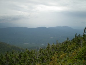
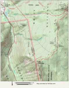
The first day in the White mountains, we drove over to Crawford Notch to climb Mount Webster via the Webster-Jackson trail (2023′ elevation gain, 4.6 miles total). Just a photo post for today, since I have a backlog of photos to catch up on.
Posted in Day Hikes, New Hampshire
Leave a comment
Dolly Copp campground (Gorham, NH)
The drive from Bangor, ME to Gorham, NH took the greater part of a day. Those little state roads are slow going, and one-lane each way means no passing the pokey people. But we made it to Dolly Copp campground by 4:30pm no problem. Dolly Copp was named after Hayes Copp and his wife Dolly Emery Copp who were the first settlers here in 1827. According to the dolly copp website:
The White Mountains themselves had been considered by early Americans to be an unfortunate waste of land. Climbing them for sport back when Hayes settled was then almost unknown.
But interest in the mountains (especially Mount Washington) as a destination began around 1850, and by 1876 the Appalachian Mountain Club was created. Around 1900, the idea of “camping” became popular and Dolly Copp was recognized as a campground by 1918.
Posted in New Hampshire, Travel
Leave a comment
Bangor, ME
Spent the day in Bangor, Maine, so that Louis could work on his thesis and I could do massive laundry and catching up on e-mails. It was a fairly tame day for me, perhaps feeling a bit exhausted from all the traveling. Good to have a relaxed day.
Posted in Travel
Leave a comment
Quoddy Head (Lubec, ME)
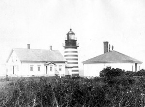
We had a bit of time before we needed to head back towards New Hampshire, so we decided to visit the Easternmost point of the U.S. lower 48, West Quoddy Head lighthouse in Lubec, Maine. The original lighthouse was constructed in 1808, but was rebuilt in 1858. I didn’t bring my camera, but here is a cool* photo from the USCG (US Coast Guard) history page.
*Cool because black-and-white, and therefore oooollllddd
Posted in Travel
Leave a comment
Cutler Coast (day 2, coastal trail)
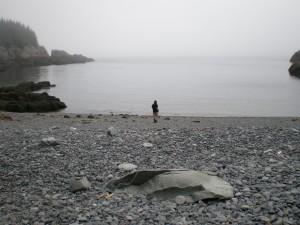
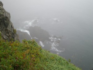
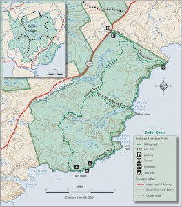
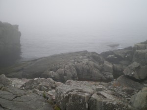
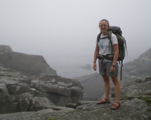
The next day we slept in a bit (9am!), or I should say Louis slept in while I read a book on the edge of a cliff while wrapped in my sleeping bag. I did not expect it to be so chilly out here. The hike along the coastal trail (4.8 miles, ~5 hours) was certainly more dramatic than the inland trail, but I’d still like to go back here one of those rare days that is without fog.
Posted in Backpacking, Maine
Leave a comment
Cutler Coast (day 1, Inland Trail)
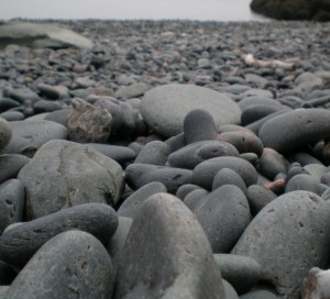
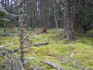
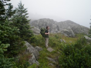
We drove out to Cutler Coast Public Reserved Land and hiked the Inland Trail (4.4 miles, ~4 hours) to camp at Fairy Head, right on the coast. The trail was rather tricky, with lots of slippery rocks, roots, mud, and brush. Sphagnum moss blanketed everything, and the parts of the trail that weren’t covered in rocks was incredibly soft with pine needles and decaying plant matter.
We were enveloped by fog basically the entire time, which was interesting at first, but began to give me a feeling of claustrophobia and being cut off from the world by the second day. I wouldn’t unrecommend this hike if you really love the feeling of complete isolation from civilization, and love being by the ocean (which I do). It was peaceful too, ignoring the fog horn.
Posted in Backpacking, Maine, Uncategorized
Leave a comment

